Offshore surveys and structural inspection support
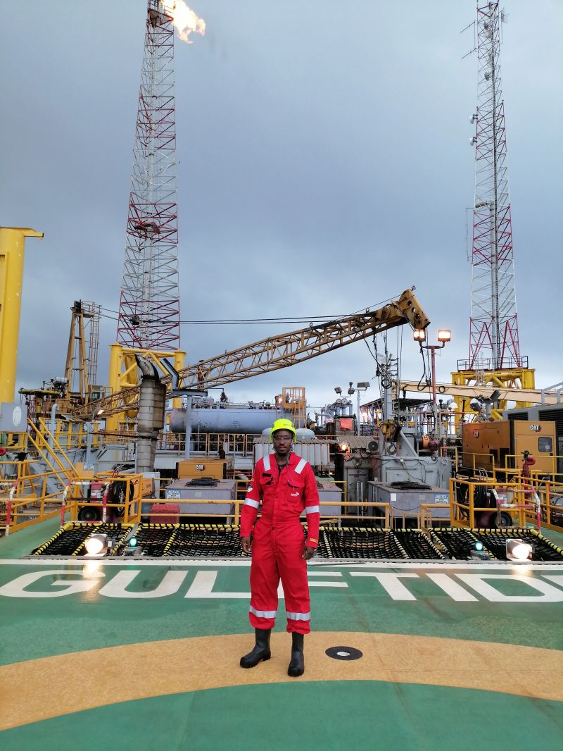
An offshore survey should produce information that can support a repair, replacement or reinforcement decision. As a Namibian engineer with offshore fieldwork in Angola and Ivory Coast, I combine measured geometry, inspection findings and engineering documentation.
Section 01FPSO surveys and repair planning
Survey experience includes hydrophore vessel tanks, corroded oxygen-scavenger skid structures, copper-nickel seawater spools, hull deformation, complex gratings and engine-room deck plates. Each assignment has a different decision to support: retain, reinforce, replace or investigate further.
Hydrophore tank work included replacement-versus-lining assessment, laydown and access-route constraints, hatch identification, 3D scanning, survey reports and method statements. Seawater spool work combined measured geometry with fabrication drawings and a replacement procedure.
Section 02Oil-rig structural surveys
On a jack-up oil rig in Ivory Coast, my role included leading the structural survey and coordinating NDT technicians. The scope covered ballast tanks and primary and secondary structures, with MPI, ultrasonic testing and thickness measurements informing the findings.
Deliverables included structural reporting, 3D models of proposed repairs and repair drawings. Inspection methods and acceptance criteria must be specified by the project and executed by suitably qualified personnel; an engineering survey is not a substitute for independent class approval.
Section 033D laser scanning and dimensional capture
Riegl VZ-600i laser scanning has supported offshore geometry capture, including pipe replacement areas and hull deformation. Scanning is valuable when drawings are incomplete or interfaces are congested, but it still requires planning, line-of-sight coverage and checks on data quality.
Measurements should identify the datum, relevant tolerances, access restrictions and unverified areas so the office engineering team understands what the data can and cannot establish.
Section 04Preparing for offshore mobilisation
Provide the asset, survey objective, existing drawings, required outputs and likely access conditions. Permit-to-work, confined-space entry, isolation, working-at-height and mobilisation arrangements are managed through the asset’s authorised procedures. No survey proceeds solely on the basis of a website checklist.